
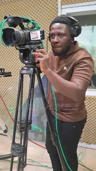
Film Me Production
Contact for price
Film Me ProductionSold by Duffour Kwabena · Kumasi Metropolitan
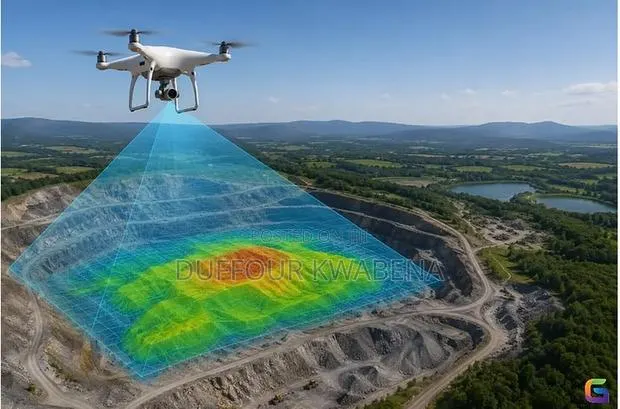
We use a drone to create accurate maps, 3D models and measurements of your land or construction site. Results sent to your WhatsApp within 48 hours. Services: Aerial site maps 3D models Land area & volume measurement Monthly site progress reports
Contact for price
Film Me Production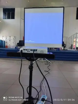
Contact for price
Showda Empaya Multimedia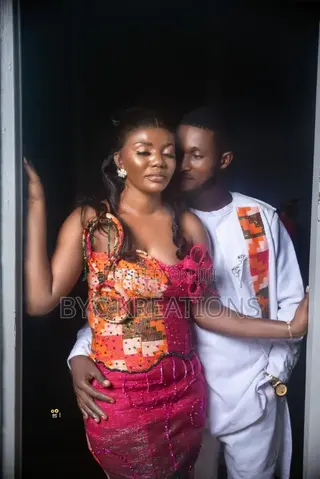
Contact for price
Byc Kreations
Contact for price
Byc Kreations
Contact for price
 Rio media

Contact for price
 Mpuntu Farms Mall